
Measuring and using smart techniques such as 3D scanning can offer you a significant cost savings and minimise the risks. Traditional is most of the time not cost efficient because because buildings and infrastructure are often re-measured to increase accuracy and increase differences. With 3D scanning you can avoid this waste.
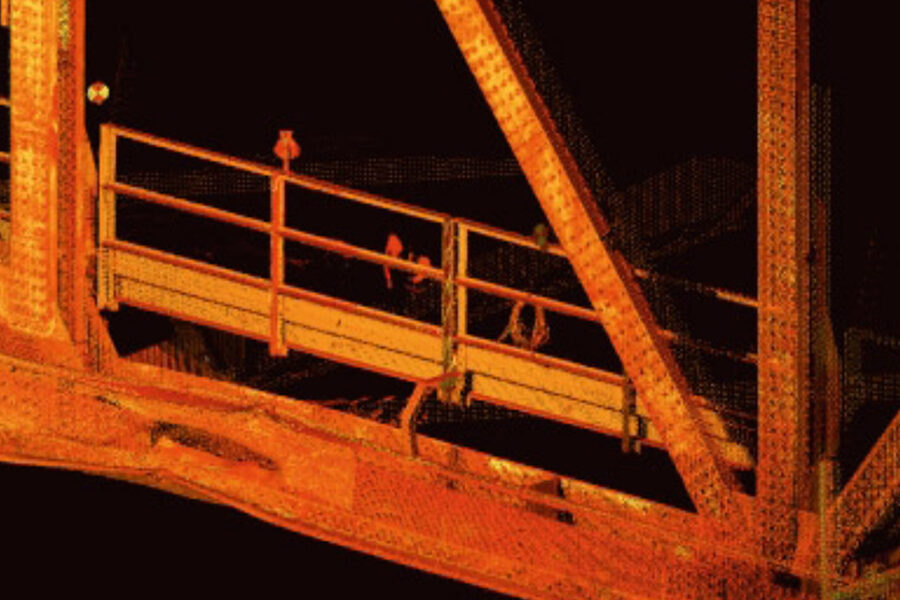
3D laser scanning technology maps the world around us with mm-accuracy. Our high-tech scanners capture hundreds of thousands of points per second. Each point is a distinct millimeter-accuracy xyz-measurement shot in full color. Viewed collectively, these point constitute a photorealistic ‘point cloud’ which reflects the real world.
We are familiar with software packages such as Cyclone and LFM. We support our customers in the use of laser data in a CAD environment, such as AutoCAD or MicroStation and database environments such as PDMS, PDS, Open Plant, Plant Space and Tekla.
Besides the laser scanning and modeling, we also offer consultancy in the field of software, delivery software, training and education.