
Belgium - E34 Turnhout
As part of the preparation of a project EIA screening/project EIA for improving the traffic flow on the E314 between Wilsele and Aarschot and the preparation of hydraulic drainage studies for the E40 between Brussels and Haasrode and the E314 between Heverlee and Aarschot, topographical measurements performed.
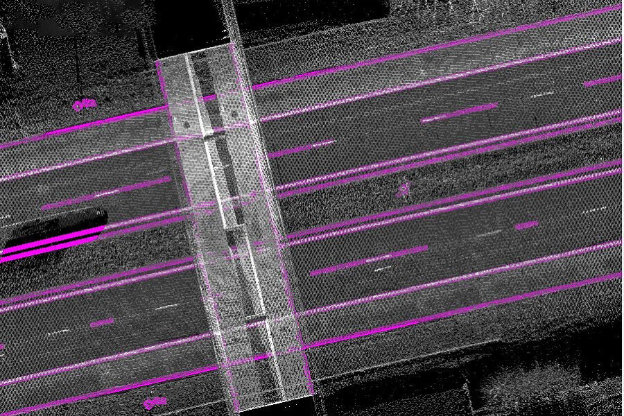
Mobile Maps of the E34 between kilometer point from 28 to 37 for each direction of travel including slip roads
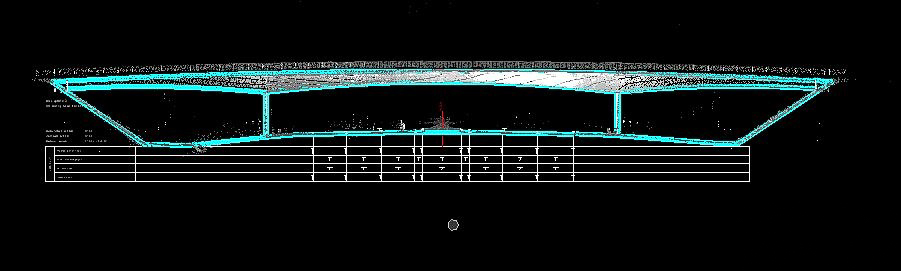
Based on the point cloud of the mobile mapper following plans were delivered:
• the existing longitudinal profile from 28k000 to 37k500 (for each direction of travel)
• existing cross sections every 50 m at the height of the entire entrance and exit complexes
• existing cross sections every 250 m between 28k000 and 37k500 (for each direction of travel)
• A floor plan of the existing situation.