Used to establish precise maps, boundaries, locations,… for building, construction, infrastructure or even civil law, such as property sales.

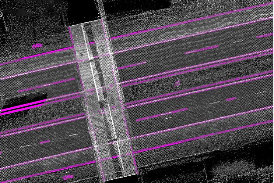
GlobeZenit specialises in capturing large-scale topographic data with centimeter and millimeter-level accuracy. Clients in both public and private sectors rely on our expertise for the mapping of areas, buildings, infrastructure, industrial plants, cables, pipelines and waterways

By using the most modern surveying techniques such as Mobile Mapping, Total Stations, digital leveling devices, 3D laser scanners, GNSS and automation tools, we manage to collect the requested geographic information in a quick, correct and effective way.
We are familiar with software packages such as Cyclone and LFM. We support our customers in the use of laser data in a CAD environment, such as AutoCAD or MicroStation and database environments such as PDMS, PDS, Open Plant, Plant Space and Tekla.
Besides the laser scanning and modeling, we also offer consultancy in the field of software, delivery software, training and education.